Skip to content
Landscape Archaeology

Method & theory for past landscapes

  • Lidar data
  • Lidar data
  • QGIS plugins
    • QGIS Visibility Analysis
    • QGIS Terrain Shading
    • QGIS Movement Analysis
  • QGIS plugins
    • QGIS Visibility Analysis
    • QGIS Terrain Shading
    • QGIS Movement Analysis
  • Project Pathways
  • Project Pathways
  • About
  • About
  • Lidar data
  • Lidar data
  • QGIS plugins
    • QGIS Visibility Analysis
    • QGIS Terrain Shading
    • QGIS Movement Analysis
  • QGIS plugins
    • QGIS Visibility Analysis
    • QGIS Terrain Shading
    • QGIS Movement Analysis
  • Project Pathways
  • Project Pathways
  • About
  • About
  • Home
  • 2020
Posted inUncategorized

Combining hillshades: beauty is not all there is to it!

[This is the third post in my series on hillshades: previous ones were on the functionality of QGIS Terrain Shading module and some ramblings on the combination of multiple hillshades.]…
Read More
Cartographier, penser : des cartes du foie à la foi en cartes
Posted inUncategorized

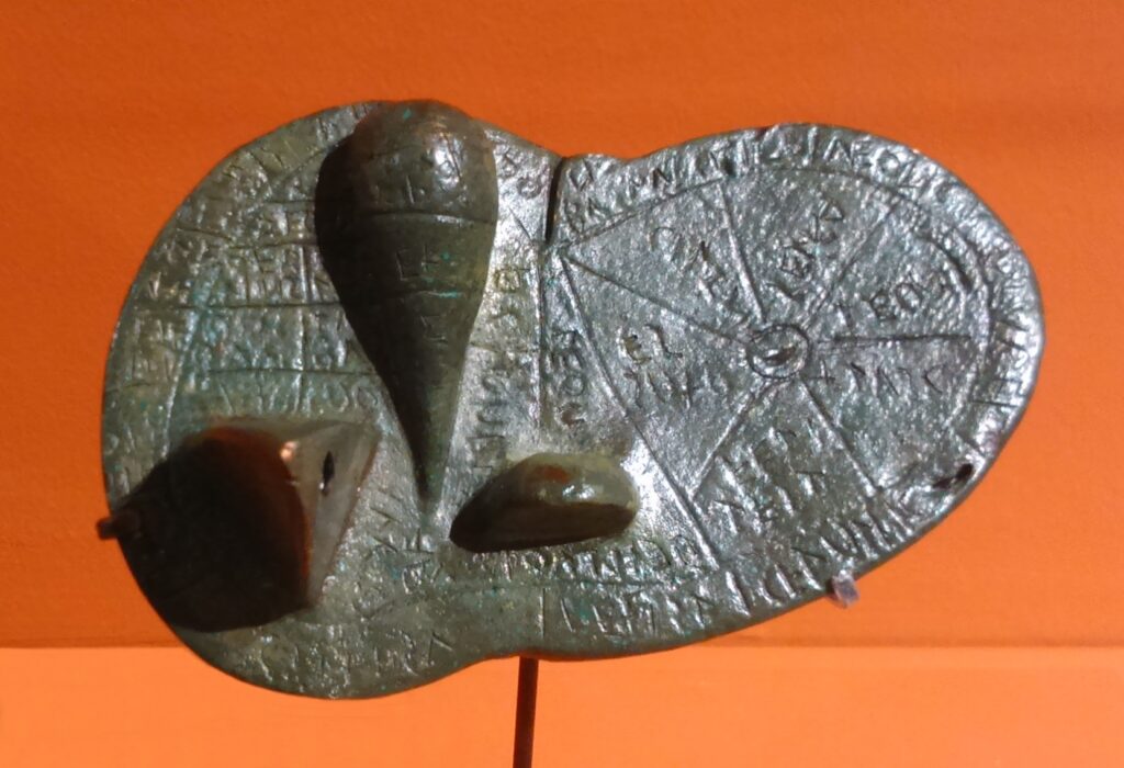
Cartographier, penser : des cartes du foie à la foi en cartes

Introduction Les cartes, géographiques ou autres, sont une fenêtre remarquable sur l'espace mental de leurs producteurs et utilisateurs. Mais, les cartes sont excessivement rares en archéologie… peut-être parce que nous…
Read More
Posted inUncategorized

Pebbles, faces and landscapes: the archaeology of simulacra

Chichibu museum (photo: www.thisiscolossal.com) Several weeks ago I stumbled upon an amusing article on a museum displaying pebbles and rocks resembling human faces, situated in Chichibu, Japan. The stones are…
Read More
Posted inUncategorized

Le géosymbole et la sémiotique, vus par l’archéologie

Le concept de géosymbole est issu du mouvement culturaliste en géographie des années 80, suite au désenchantement par les approches structuralistes. Ces dernières semblaient reléguer l’humain en marges du grand…
Read More
Posted inQGIS plugins

Hillshade in QGIS: how does it work ?

Figure 1. Hillshade model of Požega valley (Croatia). Hillshade modelling is a standard form of terrain representation in cartography. The idea is to simulate light reflectance form a terrain surface,…
Read More
Posted inQGIS plugins

Visibility index (total viewshed) for QGIS : finally there!

Welcome visibility index algorithm, a.k.a. total viewshed, now available in QGIS Visibility analysis plugin. This metric informs us on the size of the visual field for any location across a…
Read More
Posted inUncategorized

Name the enemy: geographic projections in GIS

So, you have your data, you’ve installed a GIS program … and there we go: slope gradient – check, solar exposition – check, water drainage – check, visibility range –…
Read More
Posted inQGIS plugins

Distance and direction filters for QGIS Viewshed analysis

Viewshed analysis produces a model of visible areas from a chosen point, given a 2.5 or 3D elevation model. Most often, we model full range visibility, in all directions from…
Read More
Posted inQGIS plugins

Viewshed analysis in QGIS 3: a tutorial

Viewshed analysis denotes field of vision modelling in GIS jargon. The term is quite awkwardly borrowing its suffix from watershed, even if there is nothing being “shed”. Anyway, the term…
Read More
Posted inQGIS plugins

Ambient occlusion and sky-view factor for QGIS

Ambient occlusion is a concept developed in 3D modelling and visualisation which is used to evaluate the exposition to the ambient light of each model element. The idea is to…
Read More
  • Archéologie en danger !
  • Landscape chambers: a tutorial
  • Kašteljeri između Mirne i Dragonje: prapovijesne utvrde i naselja
  • Landscape chambers: towards an archaeology of the cognitive landscape
  • Heatmaps for spatial analysis: some thoughts and rants…

Recent Posts

Categories

  • Project Pathways
  • Publications
  • QGIS plugins
  • Spatial analysis & GIS
  • Uncategorized

Archives

  • May 2025
  • February 2025
  • November 2024
  • October 2024
  • September 2024
  • August 2024
  • April 2024
  • January 2024
  • December 2023
  • June 2023
  • January 2023
  • June 2022
  • March 2022
  • December 2021
  • November 2021
  • October 2021
  • April 2021
  • February 2021
  • January 2021
  • December 2020
  • November 2020
  • October 2020
  • May 2020
  • April 2020
  • March 2020
  • February 2020
  • December 2019
  • July 2019
  • April 2019
  • March 2019
  • February 2019
  • January 2019
  • December 2018
  • November 2018
  • October 2018
  • September 2018
  • August 2018
  • July 2018
  • June 2018
  • May 2018
  • January 2018
  • December 2017

Cours SIG : https://archeosig.github.io

Workshop Rome 2024 : https://drive.uca.fr/d/f4d4f82df2d845a983fe/

Copyright 2025 — Landscape Archaeology.
Scroll to Top