Introduction
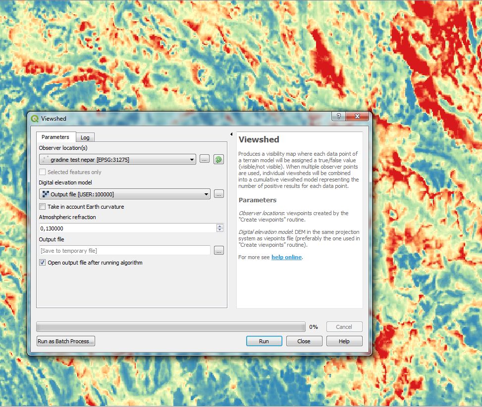
Viewshed analysis plugin for QGIS calculates visible surface from a given observer point over a digital elevation model. The plugin is intended for more complex modelling, such as the depth below the visible horizon or generation of intervisibilty networks between groups of points. It is particularly performant for multiple viewshed calculations form a set of fixed points. Licence: GNU GPL v.3
Current stable version: 1.9 (February 2024)
- Supported QGIS version: 3.x
- Help & documentation
Deprecated version: 0.5
- Supported QGIS version: 2.x
- Help & documentation
Bugs & issues
Should you encounter potential errors or malfunctions, do not hesitate to signal an issue at GitHub. When doing so, please check my post on geographic projections, which are at the root of a number of potential problems.
Publication
“Advanced viewshed analysis: a Quantum GIS plug-in for the analysis of visual landscapes.” by Zoran Čučković in The Journal of Open Source Software 4(1). doi: 10.21105/joss.00032
Data used for testing and tutorials can be found here.
Archive
- July 30, 2016: The algorithmic solution for viewshed analysis.
- May 1, 2020: The algorithmic solution for visibility index, a.k.a. total viewshed.
- March 15, 2020: Basic tutorial for QGIS 3
For other posts/tutorials, check the site content.
Community guidelines and feedback
This project is released with a Contributor Code of Conduct. By participating in this project you agree to abide by its terms. Feedback, bug reports (and fixes!), and feature requests are welcome and can be submitted at GitHub or reported directly through author’s contact (above).
Ackowledgments
Thanks to Alexander Bruy and Gilles Vuidel fir the help in migration to QGIS processing framework.
Qgis visibility analysis is maintained by Zoran Čučković.