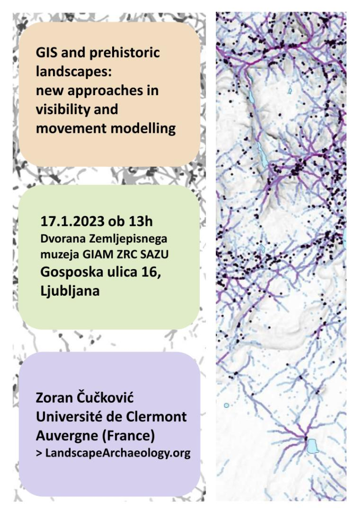
Conference / predavanje : 17.1.2023 ob 13h
Dvorana Zemljepisnega muzeja GIAM ZRC SAZU, Gosposka ulica 16, Ljubljana
Abstract
GIS or geographic information systems have become an old companion to archaeologists, yet their
full potential has remained mostly untapped. Today, we are advancing from common “push button”
solutions towards computational approaches where archaeologists design algorithmic procedures.
This presentation deals with several Bronze Age landscapes from Croatia, France and Denmark. It will
focus on the analysis of visual marks of territorial appropriation and on the distribution of mortuary
monuments, barrows in particular. The landscape can thus be thought of as a theatre where
communities stage various signals of group identity or social status, which in the context of Bronze
Age societies pertains to the construction of monumental fortifications, hillforts, and the erection of
funerary mounds, barrows. GIS analysis will help us to understand better the emitted messages and
the public receiving them.
